
Lake District topographic map
Interactive map
Click on the map to display elevation.
About this map
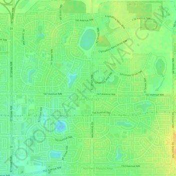
Name: Lake District topographic map, elevation, terrain.
Location: Lake District, Edmonton, Alberta, Canada (53.61401 -113.49190 53.64567 -113.44086)
Average elevation: 684 m
Minimum elevation: 671 m
Maximum elevation: 696 m