Geolocate

Poienari topographic map

Click on the map to display elevation.

About this map

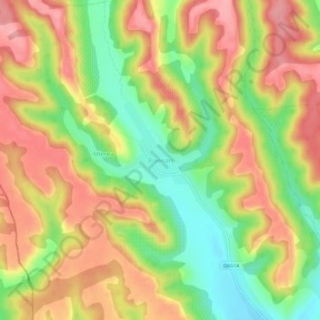
Name: Poienari topographic map, elevation, terrain.

Location: Poienari, Ghioroiu, Vâlcea, 247219, Romania (44.69826 23.78776 44.73826 23.82776)

Average elevation: 306 m

Minimum elevation: 242 m

Maximum elevation: 359 m

Gear up for your next adventure:

🧤Thermal Hiking Gloves - Grip-enhanced gloves for cold-weather altitude trekking
🥘Camping Cookware Set - Compact nesting pots and pans for trail cooking
🦶Anti-Blister Balm - Prevents friction and hotspots during long ascents
🥾Trail Hiking Socks - Comfortable socks to prevent blisters and fatigue
🎒Hiking Backpack - Lightweight and ergonomic backpacks for day hikes or multi-day treks

As an Amazon Associate, this site earns from qualifying purchases at no extra cost to you.