Geolocate

Khankra topographic map

Click on the map to display elevation.

About this map

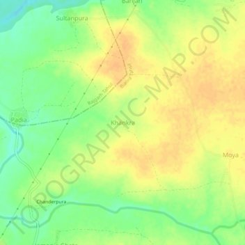
Name: Khankra topographic map, elevation, terrain.

Location: Khankra, Biaora Tahsil, Rajgarh, Madhya Pradesh, India (23.93564 76.85963 23.97564 76.89963)

Average elevation: 420 m

Minimum elevation: 402 m

Maximum elevation: 432 m

Gear up for your next adventure:

🛶Waterproof Dry Bags - Keep electronics and clothes dry during river crossings
🧦Merino Wool Socks - Moisture-wicking comfort for long-distance hiking
💡LED Camping Lantern - Illuminate your campsite with long-lasting lanterns
👟Sport Hiking Sandals - Breathable footwear for water crossings and camp rest
🛌Down Sleeping Bag - Superior warmth-to-weight ratio for cold nights

As an Amazon Associate, this site earns from qualifying purchases at no extra cost to you.