Geolocate

Pachma topographic map

Click on the map to display elevation.

About this map

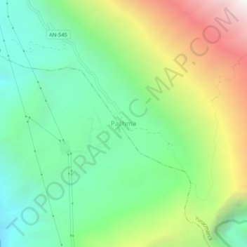
Name: Pachma topographic map, elevation, terrain.

Location: Pachma, Yuracmarca, Province of Huaylas, Ancash, Peru (-8.79150 -77.88294 -8.75150 -77.84294)

Average elevation: 2,137 m

Minimum elevation: 1,309 m

Maximum elevation: 3,655 m

Gear up for your next adventure:

Lightweight Camping Tent - Portable shelter optimized for Canadian backcountry camping
🔥Emergency Fire Starter - Reliable ignition source for all weather conditions
🧥Thermal Layer - Insulating layer for cold outdoor conditions
🧥Softshell Hiking Jacket - The perfect balance of wind protection and breathability
🧦Thermal Socks - Warm socks for winter hiking or camping

As an Amazon Associate, this site earns from qualifying purchases at no extra cost to you.