
Samerberg topographic map
Interactive map
Click on the map to display elevation.
About this map
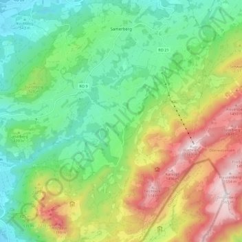
Name: Samerberg topographic map, elevation, terrain.
Location: Samerberg, Landkreis Rosenheim, Beieren, 83122, Duitsland (47.71805 12.14741 47.79147 12.25836)
Average elevation: 861 m
Minimum elevation: 462 m
Maximum elevation: 1,559 m