Geolocate

Bonfield topographic map

Click on the map to display elevation.

About this map

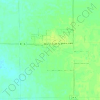
Name: Bonfield topographic map, elevation, terrain.

Location: Bonfield, Kankakee County, Illinois, United States (41.13946 -88.06463 41.15058 -88.04389)

Average elevation: 191 m

Minimum elevation: 183 m

Maximum elevation: 196 m

Other topographic maps

Click on a map to view its topography, its elevation and its terrain.

Pilot Hill

United States > Illinois > Kankakee County

Average elevation: 215 m

Gear up for your next adventure:

🥾Light Trekking Boots - Supportive boots for multi-day treks
🧢Sun Protection Cap - Breathable cap to protect from sun exposure
Camping Groundsheet - Protect your tent from moisture and dirt
🦌Outdoor Trail Camera - Monitor wildlife activity near your favorite spots
🧴Insect Repellent - Protect yourself from bugs during outdoor adventures

As an Amazon Associate, this site earns from qualifying purchases at no extra cost to you.