Geolocate

Allen Park topographic map

Click on the map to display elevation.

About this map

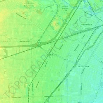
Name: Allen Park topographic map, elevation, terrain.

Location: Allen Park, Wayne County, Michigan, 48101, United States (42.22278 -83.23188 42.30098 -83.18364)

Average elevation: 183 m

Minimum elevation: 175 m

Maximum elevation: 191 m

Gear up for your next adventure:

🥾Light Trekking Boots - Supportive boots for multi-day treks
🧴First Aid Kit - Essential first aid supplies for outdoor emergencies
🦶Hiking Shoe Insoles - Added support for high arches and long days on feet
🏃Hydration Running Vest - Carry water and maps close to your body for speed
🔭Outdoor Binoculars - Lightweight binoculars for birdwatching and hiking

As an Amazon Associate, this site earns from qualifying purchases at no extra cost to you.