
Homestead topographic map
Interactive map
Click on the map to display elevation.
About this map
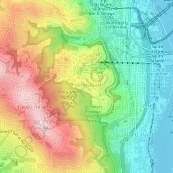
Name: Homestead topographic map, elevation, terrain.
Average elevation: 137 m
Minimum elevation: 2 m
Maximum elevation: 319 m
Other topographic maps
Click on a map to view its topography, its elevation and its terrain.
Portland
Estados Unidos de América > Oregón > Portland
Portland, Multnomah County, Oregón, Estados Unidos de América
Average elevation: 77 m