Geolocate

Lafayette topographic map

Click on the map to display elevation.

About this map

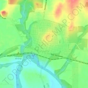
Name: Lafayette topographic map, elevation, terrain.

Location: Lafayette, Yamhill County, Oregon, 97127, United States (45.23634 -123.12385 45.25605 -123.10052)

Average elevation: 52 m

Minimum elevation: 24 m

Maximum elevation: 94 m

Other topographic maps

Click on a map to view its topography, its elevation and its terrain.

Amity Hills

United States > Oregon > Yamhill County > Amity

Average elevation: 108 m

Hopewell

United States > Oregon > Yamhill County

Average elevation: 62 m

Tetons

United States > Oregon > Yamhill County

Average elevation: 406 m

Gear up for your next adventure:

🧥Waterproof Hiking Jacket - Protect yourself from rain and wind while hiking
🦶Hiking Shoe Insoles - Added support for high arches and long days on feet
🔋Lithium AA Batteries - Long-lasting power that performs in extreme cold
🗺️Topographic Maps - Detailed maps to explore trails, mountains, and wilderness areas
🦟Insect Repellent - Keep mosquitoes and black flies away in wooded areas

As an Amazon Associate, this site earns from qualifying purchases at no extra cost to you.