Geolocate

Vigneti II topographic map

Click on the map to display elevation.

About this map
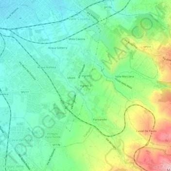
Name: Vigneti II topographic map, elevation, terrain.

Location: Vigneti II, Ciampino, Roma, Lazio, 00043, Italia (41.76960 12.61095 41.80960 12.65095)

Average elevation: 186 m

Minimum elevation: 109 m

Maximum elevation: 355 m

Gear up for your next adventure:

🥾Mountain Hiking Shoes - Shoes with superior grip for mountainous terrain
🥾Durable Hiking Shoes - Long-lasting shoes for frequent hiking
🧦Outdoor Socks - Durable socks designed for hiking and outdoor sports
🥾Waterproof Hiking Shoes - Durable shoes for wet and rugged trails
🧼Biodegradable Camp Soap - Environmentally friendly cleaning for gear and body

As an Amazon Associate, this site earns from qualifying purchases at no extra cost to you.