
El Trapiche topographic map
Interactive map
Click on the map to display elevation.
About this map
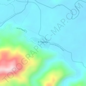
Name: El Trapiche topographic map, elevation, terrain.
Average elevation: 113 m
Minimum elevation: 43 m
Maximum elevation: 364 m
Other topographic maps
Click on a map to view its topography, its elevation and its terrain.
El Trapiche
Venezuela > Miranda > El Trapiche
El Trapiche, Municipio Acevedo, Miranda, 01246, Venezuela
Average elevation: 167 m