
Ajacuba topographic map
Interactive map
Click on the map to display elevation.
About this map
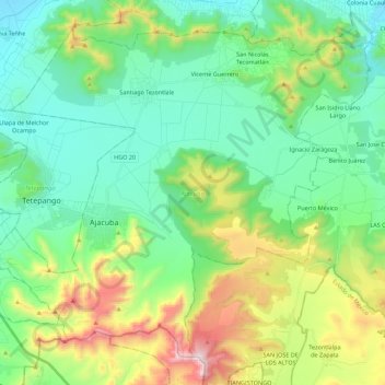
Name: Ajacuba topographic map, elevation, terrain.
Location: Ajacuba, Hidalgo, México (20.01792 -99.18900 20.19528 -98.96783)
Average elevation: 2,280 m
Minimum elevation: 2,005 m
Maximum elevation: 2,998 m
Other topographic maps
Click on a map to view its topography, its elevation and its terrain.