
Bloomfield topographic map
Click on the map to display elevation.
About this map
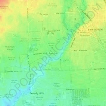
Name: Bloomfield topographic map, elevation, terrain.
Average elevation: 231 m
Minimum elevation: 211 m
Maximum elevation: 254 m
Other topographic maps
Click on a map to view its topography, its elevation and its terrain.
Quarton Lake
United States > Michigan > Oakland County > Birmingham > Bloomfield
Average elevation: 235 m