Geolocate

Sart topographic map

Click on the map to display elevation.

About this map

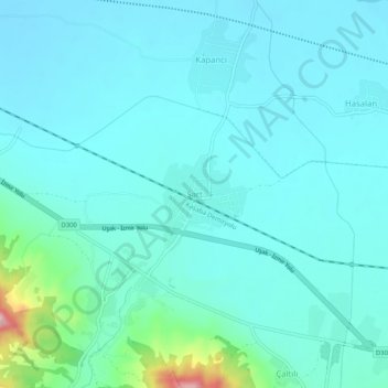
Name: Sart topographic map, elevation, terrain.

Location: Sart, Salihli, Manisa, Aegean Region, 45450, Turkey (38.47768 28.02326 38.51768 28.06326)

Average elevation: 108 m

Minimum elevation: 71 m

Maximum elevation: 338 m

Gear up for your next adventure:

🧥Waterproof Pants - Keep dry during rainy hiking conditions
🔨Vehicle Emergency Tool - Safety tool for remote road trips to trailheads
🥾Hiking Boots - Sturdy boots providing ankle support and traction on rugged trails
Lightweight Camping Tent - Portable shelter optimized for Canadian backcountry camping
🥫Freeze-Dried Meals - Lightweight, high-calorie nutrition for multi-day treks

As an Amazon Associate, this site earns from qualifying purchases at no extra cost to you.