Geolocate

Murphy topographic map

Click on the map to display elevation.

About this map

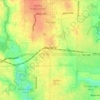
Name: Murphy topographic map, elevation, terrain.

Location: Murphy, Collin County, Texas, 75094, United States (32.98664 -96.63280 33.04104 -96.59474)

Average elevation: 169 m

Minimum elevation: 146 m

Maximum elevation: 187 m

Other topographic maps

Click on a map to view its topography, its elevation and its terrain.

Plano

United States > Texas > Collin County > Plano

At first, Plano's population grew slowly, reaching 1,304 in 1900 and 3,695 in 1960. By 1970, Plano began to feel some of the boom its neighbors had experienced after World War II. A series of public works projects and a change in taxes that removed the farming community from the town helped increase the…

Average elevation: 181 m

Gear up for your next adventure:

🔋Lithium AA Batteries - Long-lasting power that performs in extreme cold
🥽Outdoor Goggles - Protective eyewear for outdoor activities
🔦LED Flashlight - Powerful and long-lasting flashlight for camping and emergencies
🧢Hiking Hat - Sun-protective and breathable hats for long treks
🧴Sunscreen SPF - Broad-spectrum sunscreen for outdoor activities

As an Amazon Associate, this site earns from qualifying purchases at no extra cost to you.