Geolocate

Soro topographic map

Click on the map to display elevation.

About this map

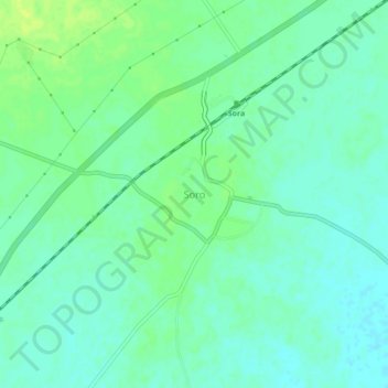
Name: Soro topographic map, elevation, terrain.

Location: Soro, Baleshwar, Odisha, 756045, India (21.26172 86.66770 21.30172 86.70770)

Average elevation: 14 m

Minimum elevation: 7 m

Maximum elevation: 22 m

Gear up for your next adventure:

🥾Waterproof Hiking Shoes - Durable shoes for wet and rugged trails
Camping Coffee Maker - Brew fresh coffee anywhere on the topographic map
🧣Evaporative Cooling Towel - Beat the heat during intense summer climbs
💡LED Camping Lantern - Illuminate your campsite with long-lasting lanterns
🥾Mountain Trail Shoes - High-traction shoes for mountain trails

As an Amazon Associate, this site earns from qualifying purchases at no extra cost to you.