Geolocate

Huntington topographic map

Click on the map to display elevation.

About this map

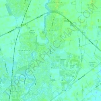
Name: Huntington topographic map, elevation, terrain.

Location: Huntington, York, England, United Kingdom (53.97676 -1.07305 54.00695 -1.01508)

Average elevation: 16 m

Minimum elevation: 11 m

Maximum elevation: 20 m

Other topographic maps

Click on a map to view its topography, its elevation and its terrain.

Knapton

United Kingdom > England > York > York > Knapton

Average elevation: 18 m

Gear up for your next adventure:

🧦Merino Wool Socks - Moisture-wicking comfort for long-distance hiking
🛌Insulated Sleeping Pad - Critical thermal barrier between you and the cold ground
🥾Lightweight Hiking Boots - Boots for comfort and mobility on long hikes
🔦LED Headtorch - Bright and durable light for night activities
🏃Hydration Running Vest - Carry water and maps close to your body for speed

As an Amazon Associate, this site earns from qualifying purchases at no extra cost to you.