
Spy topographic map
Interactive map
Click on the map to display elevation.
About this map
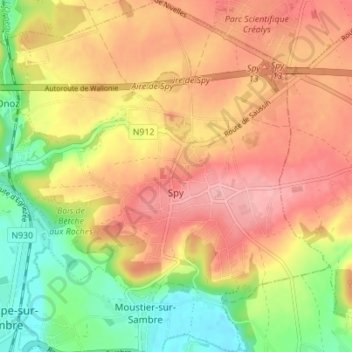
Name: Spy topographic map, elevation, terrain.
Location: Spy, Jemeppe-sur-Sambre, Namur, Wallonie, Belgique (50.46132 4.66703 50.50523 4.73299)
Average elevation: 146 m
Minimum elevation: 84 m
Maximum elevation: 195 m