
Xeve topographic map
Click on the map to display elevation.
About this map
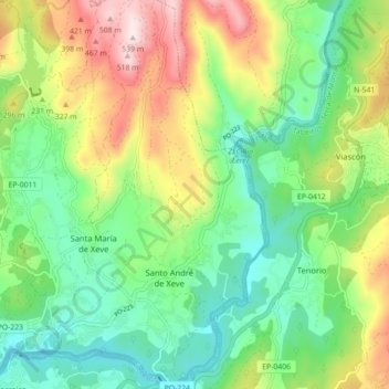
Name: Xeve topographic map, elevation, terrain.
Location: Xeve, Pontevedra, Galicia, 36150, España (42.44639 -8.61215 42.51171 -8.56303)
Average elevation: 187 m
Minimum elevation: 1 m
Maximum elevation: 526 m