Geolocate

Magno topographic map

Click on the map to display elevation.

About this map

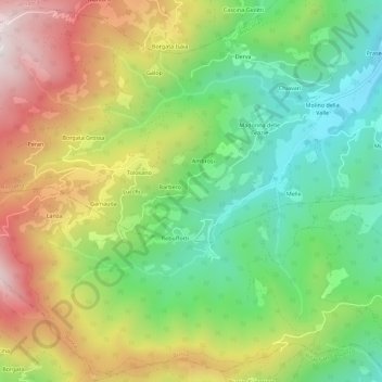
Name: Magno topographic map, elevation, terrain.

Location: Magno, Rossana, Cuneo, Piemonte, Italia (44.49825 7.37651 44.53825 7.41651)

Average elevation: 892 m

Minimum elevation: 561 m

Maximum elevation: 1,348 m

Gear up for your next adventure:

🔋Lithium AA Batteries - Long-lasting power that performs in extreme cold
🥾Light Trekking Boots - Supportive boots for multi-day treks
🎒Backpack Rain Cover - External shield to keep your entire pack dry
👟Trail Running Shoes - Agile footwear for fast-paced topographic exploration
🧥Fleece Jacket - Warm and lightweight jacket for layering

As an Amazon Associate, this site earns from qualifying purchases at no extra cost to you.