
Casale topographic map
Interactive map
Click on the map to display elevation.
About this map
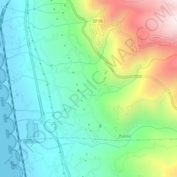
Name: Casale topographic map, elevation, terrain.
Location: Casale, Paola, CS, CAL, 87026, Italia (39.32773 16.04502 39.33517 16.06726)
Average elevation: 256 m
Minimum elevation: 0 m
Maximum elevation: 822 m