
San Carlos topographic map
Interactive map
Click on the map to display elevation.
About this map
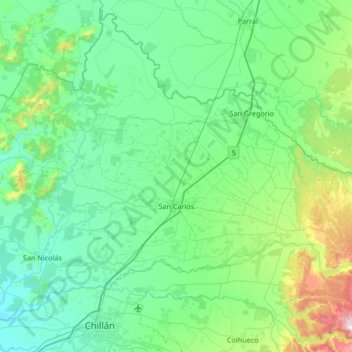
Name: San Carlos topographic map, elevation, terrain.
Location: San Carlos, Provincia de Punilla, Región de Ñuble, Chile (-36.55149 -72.33421 -36.20696 -71.67035)
Average elevation: 199 m
Minimum elevation: 58 m
Maximum elevation: 942 m