Geolocate

Eaton Rapids topographic map

Click on the map to display elevation.

About this map

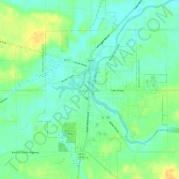
Name: Eaton Rapids topographic map, elevation, terrain.

Location: Eaton Rapids, Eaton County, Michigan, 48827, United States (42.48798 -84.67308 42.53092 -84.63060)

Average elevation: 272 m

Minimum elevation: 261 m

Maximum elevation: 289 m

Other topographic maps

Click on a map to view its topography, its elevation and its terrain.

Lake Interstate

United States > Michigan > Eaton County

Average elevation: 267 m

West Windsor

United States > Michigan > Eaton County

Average elevation: 277 m

Gear up for your next adventure:

🔋Solar Power Bank - Keep your GPS and devices charged during long outdoor trips
🧦Outdoor Socks - Durable socks designed for hiking and outdoor sports
🥾Hiking Shorts - Breathable shorts suitable for summer hikes
🛶Canoe Life Vest - Safety vest for water sports
💡Solar Camping Lamp - Eco-friendly lighting for campsites

As an Amazon Associate, this site earns from qualifying purchases at no extra cost to you.