
Okada topographic map
Interactive map
Click on the map to display elevation.
About this map
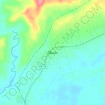
Name: Okada topographic map, elevation, terrain.
Location: Okada, Ovia North-East, Edo State, Nigeria (6.69273 5.34989 6.77273 5.42989)
Average elevation: 64 m
Minimum elevation: 25 m
Maximum elevation: 142 m