Geolocate

Birbira topographic map

Click on the map to display elevation.

About this map

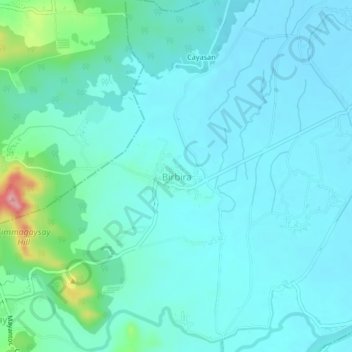
Name: Birbira topographic map, elevation, terrain.

Location: Birbira, Camiling, Tarlac, Central Luzon, 2305, Philippines (15.63917 120.34269 15.67917 120.38269)

Average elevation: 41 m

Minimum elevation: 20 m

Maximum elevation: 153 m

Gear up for your next adventure:

🔦LED Flashlight - Powerful and long-lasting flashlight for camping and emergencies
🧴Bear Spray Holster - Quick-access carry for essential Canadian wilderness safety
🛶Kayak Dry Bag - Waterproof storage for kayaking adventures
Tent Footprint - Protect tent floor and increase durability
🧰Multitool Knife - Compact and versatile tool for outdoor use

As an Amazon Associate, this site earns from qualifying purchases at no extra cost to you.