
Abadla topographic map
Interactive map
Click on the map to display elevation.
About this map
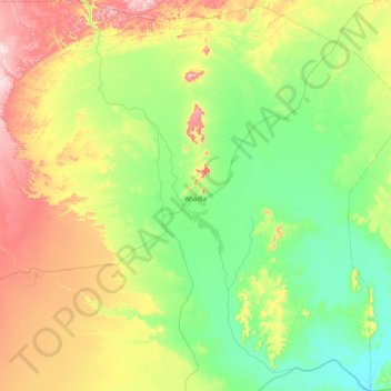
Name: Abadla topographic map, elevation, terrain.
Location: Abadla, دائرة العبادلة, Baschar, Algerien (30.68761 -2.95186 31.37486 -2.26963)
Average elevation: 636 m
Minimum elevation: 520 m
Maximum elevation: 907 m