Geolocate

Bukit Lumut topographic map

Click on the map to display elevation.

About this map
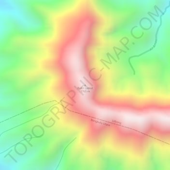
Name: Bukit Lumut topographic map, elevation, terrain.

Location: Bukit Lumut, Lebong, Bengkulu, Sumatra, Indonesia (-3.21875 102.19595 -3.21865 102.19605)

Average elevation: 1,377 m

Minimum elevation: 993 m

Maximum elevation: 1,736 m

Gear up for your next adventure:

🦶Hiking Shoe Insoles - Added support for high arches and long days on feet
🥽Outdoor Goggles - Protective eyewear for outdoor activities
🧦Outdoor Socks - Durable socks designed for hiking and outdoor sports
🩹Moleskin Blister Pads - Direct protection for painful foot pressure points
💧Collapsible Water Bottle - Space-saving water bottle for outdoor activities

As an Amazon Associate, this site earns from qualifying purchases at no extra cost to you.