Geolocate

Bukit Lumut topographic map

Click on the map to display elevation.

About this map

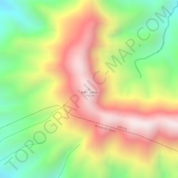
Name: Bukit Lumut topographic map, elevation, terrain.

Location: Bukit Lumut, Lebong, Bengkulu, Sumatra, Indonesia (-3.21875 102.19595 -3.21865 102.19605)

Average elevation: 1,377 m

Minimum elevation: 993 m

Maximum elevation: 1,736 m

Gear up for your next adventure:

🧢Hiking Hat - Sun-protective and breathable hats for long treks
🕶️Polarized Sunglasses - Reduces glare from snow and water at high elevations
Camping Essentials - All-in-one gear for a comfortable camping trip
🧭GPS Outdoor Watch - Smart watch for navigation and fitness tracking in nature
🍽️Titanium Camping Spork - Ultralight and indestructible eating utensil

As an Amazon Associate, this site earns from qualifying purchases at no extra cost to you.