Geolocate

Santa Lucia topographic map

Click on the map to display elevation.

About this map
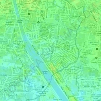
Name: Santa Lucia topographic map, elevation, terrain.

Location: Santa Lucia, Pasig, Eastern Manila District, Metro Manila, 1608, Philippines (14.57443 121.09274 14.59009 121.10912)

Average elevation: 8 m

Minimum elevation: -2 m

Maximum elevation: 12 m

Other topographic maps

Click on a map to view its topography, its elevation and its terrain.

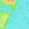
Bridgetowne Central Park

Philippines > Pasig

Average elevation: 11 m

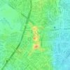
Pasig River

Philippines > Pasig

Average elevation: 14 m

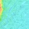
Ortigas Park

Philippines > Pasig

Average elevation: 36 m

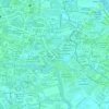
Pasig City Cemetery

Philippines > Pasig

Average elevation: 9 m

Parian Creek

Philippines > Pasig

Average elevation: 6 m

Parian Creek

Philippines > Pasig

Average elevation: 6 m

Gear up for your next adventure:

🧢Sun Protection Cap - Breathable cap to protect from sun exposure
🥾Hiking Leggings - Comfortable leggings for outdoor activities
🔨Vehicle Emergency Tool - Safety tool for remote road trips to trailheads
🔦LED Headtorch - Bright and durable light for night activities
🥾Light Trekking Boots - Supportive boots for multi-day treks

As an Amazon Associate, this site earns from qualifying purchases at no extra cost to you.