
Ulvenhout topographic map
Interactive map
Click on the map to display elevation.
About this map
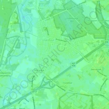
Name: Ulvenhout topographic map, elevation, terrain.
Location: Ulvenhout, Breda, Nordbrabant, Niederlande (51.52945 4.77726 51.56002 4.82452)
Average elevation: 6 m
Minimum elevation: 0 m
Maximum elevation: 10 m
Other topographic maps
Click on a map to view its topography, its elevation and its terrain.
Teteringen
Niederlande > Nordbrabant > Breda
Teteringen, Breda, Nordbrabant, Niederlande
Average elevation: 4 m