
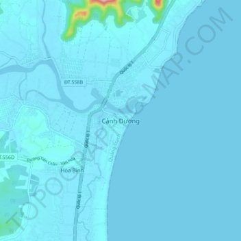
Cảnh Dương topographic map
Interactive map
Click on the map to display elevation.
About this map
Name: Cảnh Dương topographic map, elevation, terrain.
Location: Cảnh Dương, Quảng Trạch, Quảng Bình, Vietnam (17.83254 106.40914 17.91254 106.48914)
Average elevation: 7 m
Minimum elevation: -3 m
Maximum elevation: 252 m