Geolocate

Maneadero topographic map

Click on the map to display elevation.

About this map

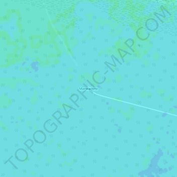
Name: Maneadero topographic map, elevation, terrain.

Location: Maneadero, Ciénaga de Zapata, Matanzas, Cuba (22.39163 -81.66202 22.43163 -81.62202)

Average elevation: 2 m

Minimum elevation: 1 m

Maximum elevation: 4 m

Gear up for your next adventure:

🥾Trekking Poles - Adjustable trekking poles to reduce knee stress and improve stability
🪜Heavy Duty Carabiners - Multi-use clips for securing gear to your backpack
🧥Waterproof Hiking Jacket - Protect yourself from rain and wind while hiking
Lightweight Backpacking Tent - Compact tent for efficient hiking trips
🧣Evaporative Cooling Towel - Beat the heat during intense summer climbs

As an Amazon Associate, this site earns from qualifying purchases at no extra cost to you.