Geolocate

Cerro Alto topographic map

Click on the map to display elevation.

About this map

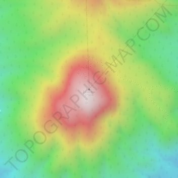
Name: Cerro Alto topographic map, elevation, terrain.

Location: Cerro Alto, Xalisco, Nayarit, Mexico (21.44986 -104.97435 21.44996 -104.97425)

Average elevation: 1,847 m

Minimum elevation: 1,508 m

Maximum elevation: 2,238 m

Gear up for your next adventure:

🧴Waterproofing Spray - Restore the DWR coating on jackets and tents
🥾Hiking Shoes - Durable and comfortable shoes for trail hiking
❄️Traction Ice Cleats - Slip-on spikes for icy trails and winter hiking
Camping Essentials - All-in-one gear for a comfortable camping trip
🥾Light Hiking Boots - Lightweight and comfortable boots for day hikes

As an Amazon Associate, this site earns from qualifying purchases at no extra cost to you.