Geolocate

Three Gorges Dam topographic map

Click on the map to display elevation.

About this map

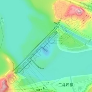
Name: Three Gorges Dam topographic map, elevation, terrain.

Location: Three Gorges Dam, Yiling District, Yichang, Hubei, China (30.81657 110.99619 30.83270 111.01281)

Average elevation: 95 m

Minimum elevation: 33 m

Maximum elevation: 250 m

Other topographic maps

Click on a map to view its topography, its elevation and its terrain.

Wufeng Tujia Autonomous County

China > Hubei > Yichang

Average elevation: 915 m

Zigui County

China > Hubei > Yichang

Average elevation: 862 m

Yiling District

China > Hubei > Yichang

Average elevation: 596 m

Gear up for your next adventure:

🧤Insulated Winter Gloves - Heavy-duty protection for sub-zero Canadian adventures
🧢Outdoor Cap - Protective cap for sun and rain during hikes
🥾Durable Hiking Shoes - Long-lasting shoes for frequent hiking
🥾Waterproof Hiking Shoes - Durable shoes for wet and rugged trails
🦶Anti-Blister Balm - Prevents friction and hotspots during long ascents

As an Amazon Associate, this site earns from qualifying purchases at no extra cost to you.