Geolocate

Chuquibambilla topographic map

Click on the map to display elevation.

About this map

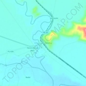
Name: Chuquibambilla topographic map, elevation, terrain.

Location: Chuquibambilla, Umachiri, Melgar, Puno, Perú (-14.80985 -70.74579 -14.76985 -70.70579)

Average elevation: 3,915 m

Minimum elevation: 3,902 m

Maximum elevation: 4,006 m

Gear up for your next adventure:

🥾Trail Running Boots - Durable shoes designed for trail running
🥾Waterproof Hiking Boots - Boots keeping your feet dry in wet conditions
🧴Bear Spray Holster - Quick-access carry for essential Canadian wilderness safety
🥤Collapsible Travel Cup - Saves space and weight in your mess kit
🧢Outdoor Visor - Breathable visor for sunny hikes

As an Amazon Associate, this site earns from qualifying purchases at no extra cost to you.