
Thank you for supporting this site ❤️
Make a donation
Make a donation
Gear up for your next adventure:
As an Amazon Associate, this site earns from qualifying purchases at no extra cost to you.
Libolo topographic map
Click on the map to display elevation.
Thank you for supporting this site ❤️
Make a donation
Make a donation
Gear up for your next adventure:
As an Amazon Associate, this site earns from qualifying purchases at no extra cost to you.
About this map
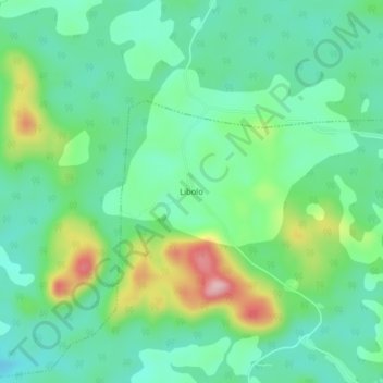
Name: Libolo topographic map, elevation, terrain.
Location: Libolo, Éséka, Nyong-et-Kéllé, Centre, Cameroon (3.81892 10.88478 3.85892 10.92478)
Average elevation: 402 m
Minimum elevation: 341 m
Maximum elevation: 551 m
Thank you for supporting this site ❤️
Make a donation
Make a donation
Gear up for your next adventure:
As an Amazon Associate, this site earns from qualifying purchases at no extra cost to you.