
Pleasant Road topographic map
Interactive map
Click on the map to display elevation.
About this map
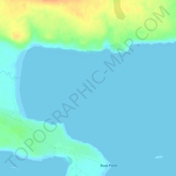
Name: Pleasant Road topographic map, elevation, terrain.
Location: Pleasant Road, Falkland Islands (-51.83430 -58.22034 -51.83420 -58.22024)
Average elevation: 7 m
Minimum elevation: -1 m
Maximum elevation: 35 m
Other topographic maps
Click on a map to view its topography, its elevation and its terrain.