
Arilje topographic map
Interactive map
Click on the map to display elevation.
About this map
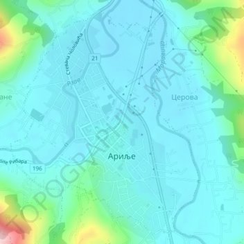
Name: Arilje topographic map, elevation, terrain.
Average elevation: 356 m
Minimum elevation: 319 m
Maximum elevation: 558 m
The municipality of Arilje is located in western Serbia in the river basins of the clear mountain rivers of the Rzav and Moravica. It has a hilly-mountainous area at an altitude of 330 to 1,382 meters.