Geolocate

Gateley topographic map

Click on the map to display elevation.

About this map

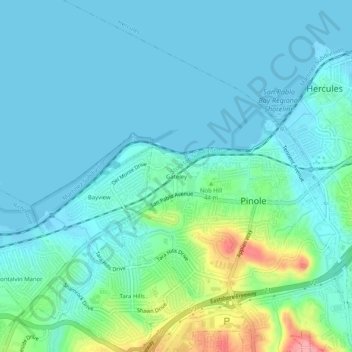
Name: Gateley topographic map, elevation, terrain.

Location: Gateley, Pinole, Contra Costa County, CAL Fire Northern Region, California, 94604, United States (37.98714 -122.32997 38.02714 -122.28997)

Average elevation: 19 m

Minimum elevation: -2 m

Maximum elevation: 105 m

Other topographic maps

Click on a map to view its topography, its elevation and its terrain.

Gear up for your next adventure:

🪑Ultralight Camping Stool - Compact seating for rest stops during long hikes
🧥Softshell Hiking Jacket - The perfect balance of wind protection and breathability
🥽Outdoor Goggles - Protective eyewear for outdoor activities
🥾Mountaineering Boots - Supportive boots for climbing and high-altitude hiking
🥾Hiking Gaiters - Protect legs and shoes from mud, snow, and debris

As an Amazon Associate, this site earns from qualifying purchases at no extra cost to you.