Geolocate

Guerrero topographic map

Click on the map to display elevation.

About this map

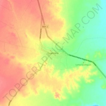
Name: Guerrero topographic map, elevation, terrain.

Location: Guerrero, Municipio de Guerrero, Coahuila, Mexico (28.26933 -100.42056 28.34933 -100.34056)

Average elevation: 227 m

Minimum elevation: 193 m

Maximum elevation: 253 m

Gear up for your next adventure:

🧴Outdoor Sunscreen - High SPF protection for high-altitude UV exposure
🌬️Windproof Camp Stove - Efficient cooking even on exposed mountain peaks
🧦Hiking Socks - Moisture-wicking and comfortable socks for long hikes
🥫Freeze-Dried Meals - Lightweight, high-calorie nutrition for multi-day treks
🥾Lightweight Hiking Shoes - Comfortable shoes for day hikes

As an Amazon Associate, this site earns from qualifying purchases at no extra cost to you.