
罗村镇 topographic map
Interactive map
Click on the map to display elevation.
About this map
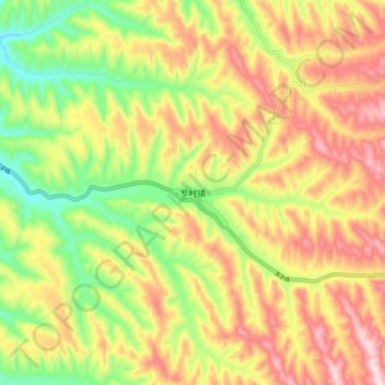
Name: 罗村镇 topographic map, elevation, terrain.
Location: 罗村镇, 石楼县, 吕梁市, 山西省, 中国 (36.92680 110.92900 37.00680 111.00900)
Average elevation: 1,274 m
Minimum elevation: 1,072 m
Maximum elevation: 1,474 m