
Benito Juárez topographic map
Interactive map
Click on the map to display elevation.
About this map
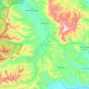
Name: Benito Juárez topographic map, elevation, terrain.
Location: Benito Juárez, Veracruz de Ignacio de la Llave, México (20.72739 -98.26550 20.90662 -98.08697)
Average elevation: 449 m
Minimum elevation: 154 m
Maximum elevation: 1,010 m