Geolocate

Pico Pandial topographic map

Click on the map to display elevation.

About this map

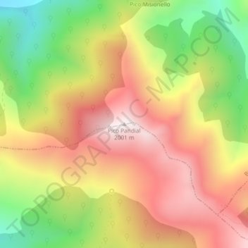
Name: Pico Pandial topographic map, elevation, terrain.

Location: Pico Pandial, Burón, León, Castile and León, Spain (43.03184 -4.96975 43.03194 -4.96965)

Average elevation: 1,618 m

Minimum elevation: 1,170 m

Maximum elevation: 2,004 m

Gear up for your next adventure:

🥾Approach Boots - Comfortable boots for hiking and climbing approaches
🦶Hiking Shoe Insoles - Added support for high arches and long days on feet
🥾Durable Hiking Shoes - Long-lasting shoes for frequent hiking
🧢Outdoor Cap - Protective cap for sun and rain during hikes
🔋Lithium AA Batteries - Long-lasting power that performs in extreme cold

As an Amazon Associate, this site earns from qualifying purchases at no extra cost to you.