
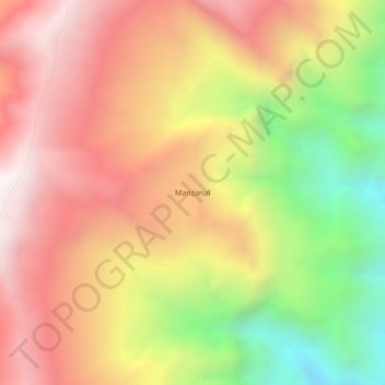
Manzanal topographic map
Interactive map
Click on the map to display elevation.
About this map
Name: Manzanal topographic map, elevation, terrain.
Location: Manzanal, Provincia Sur Cinti, Chuquisaca, Bolivia (-21.03234 -64.49250 -20.99234 -64.45250)
Average elevation: 2,296 m
Minimum elevation: 1,458 m
Maximum elevation: 2,944 m