Geolocate

Pt 1589 topographic map

Click on the map to display elevation.

About this map

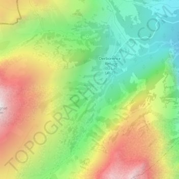
Name: Pt 1589 topographic map, elevation, terrain.

Location: Pt 1589, Derborence, Conthey, Wallis, 1964, Switzerland (46.26502 7.19974 46.28502 7.21974)

Average elevation: 1,831 m

Minimum elevation: 1,332 m

Maximum elevation: 2,489 m

Gear up for your next adventure:

🗺️Topographic Maps - Detailed maps to explore trails, mountains, and wilderness areas
🧤Insulated Winter Gloves - Heavy-duty protection for sub-zero Canadian adventures
🔭Compact Binoculars - Lightweight optics for scouting trails and wildlife
🥾Trail Running Boots - Durable shoes designed for trail running
🪑Insulated Seat Pad - Protect your seat from cold rocks and wet logs

As an Amazon Associate, this site earns from qualifying purchases at no extra cost to you.