Geolocate

Rivodora topographic map

Click on the map to display elevation.

About this map

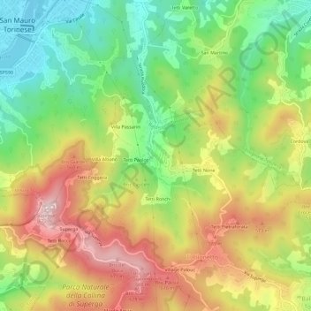
Name: Rivodora topographic map, elevation, terrain.

Location: Rivodora, Baldissero Torinese, Torino, Piemonte, 10099, Italia (45.06753 7.76724 45.10753 7.80724)

Average elevation: 420 m

Minimum elevation: 196 m

Maximum elevation: 687 m

Gear up for your next adventure:

🧤Rechargeable Heated Gloves - Extreme warmth for Canadian winter expeditions
🕶️Polarized Sunglasses - Reduces glare from snow and water at high elevations
🥾Waterproof Hiking Boots - Boots keeping your feet dry in wet conditions
🧴First Aid Kit - Essential first aid supplies for outdoor emergencies
🥤Collapsible Travel Cup - Saves space and weight in your mess kit

As an Amazon Associate, this site earns from qualifying purchases at no extra cost to you.