Geolocate

Pachwad topographic map

Click on the map to display elevation.

About this map

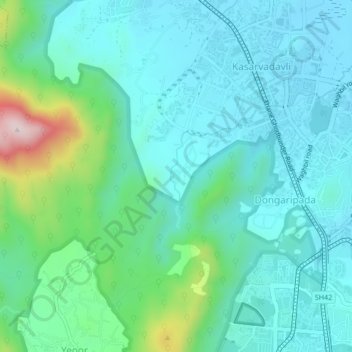
Name: Pachwad topographic map, elevation, terrain.

Location: Pachwad, Thane, Maharashtra, 400615, India (19.23389 72.93784 19.27389 72.97784)

Average elevation: 87 m

Minimum elevation: -1 m

Maximum elevation: 440 m

Gear up for your next adventure:

🧦Hiking Liner Socks - Thin base layer to prevent friction and blisters
🧥Waterproof Pants - Keep dry during rainy hiking conditions
💡Solar Camping Lamp - Eco-friendly lighting for campsites
💧Hydration Bladder - Hands-free hydration solution for long treks
🐕Hiking Dog Pack - Let your canine companion carry their own water and food

As an Amazon Associate, this site earns from qualifying purchases at no extra cost to you.