Geolocate

Dharuhera topographic map

Click on the map to display elevation.

About this map

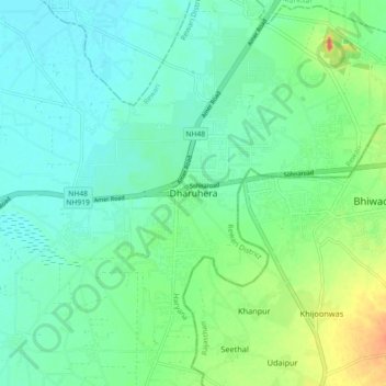
Name: Dharuhera topographic map, elevation, terrain.

Location: Dharuhera, Rewari, Haryana, 123106, India (28.16552 76.75531 28.24552 76.83531)

Average elevation: 251 m

Minimum elevation: 236 m

Maximum elevation: 292 m

Gear up for your next adventure:

🥽Outdoor Goggles - Protective eyewear for outdoor activities
Backpacking Tent - Lightweight tent for long-distance hiking trips
Tent Footprint - Protect tent floor and increase durability
Camping Coffee Maker - Brew fresh coffee anywhere on the topographic map
🛶Kayak Accessories - Essential gear for safe and fun kayaking adventures

As an Amazon Associate, this site earns from qualifying purchases at no extra cost to you.