
Thank you for supporting this site ❤️
Make a donation
Make a donation
Gear up for your next adventure:
As an Amazon Associate, this site earns from qualifying purchases at no extra cost to you.
Skyu topographic map
Click on the map to display elevation.
Thank you for supporting this site ❤️
Make a donation
Make a donation
Gear up for your next adventure:
As an Amazon Associate, this site earns from qualifying purchases at no extra cost to you.
About this map
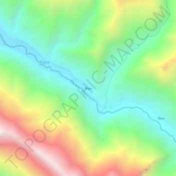
Name: Skyu topographic map, elevation, terrain.
Location: Skyu, Kaya, Leh Tehsil, Leh District, Ladakh, Inde (33.96373 77.23652 34.00373 77.27652)
Average elevation: 3,785 m
Minimum elevation: 3,263 m
Maximum elevation: 4,677 m
Thank you for supporting this site ❤️
Make a donation
Make a donation
Gear up for your next adventure:
As an Amazon Associate, this site earns from qualifying purchases at no extra cost to you.