Geolocate

Dry Branch topographic map

Click on the map to display elevation.

About this map

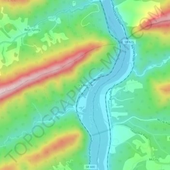
Name: Dry Branch topographic map, elevation, terrain.

Location: Dry Branch, Pulaski County, Virginia, 24058, United States (37.21457 -80.63812 37.25457 -80.59812)

Average elevation: 615 m

Minimum elevation: 492 m

Maximum elevation: 861 m

Other topographic maps

Click on a map to view its topography, its elevation and its terrain.

Pulaski

United States > Virginia > Pulaski County

Average elevation: 650 m

Hogan Lake

United States > Virginia > Pulaski County

Average elevation: 721 m

Parrott

United States > Virginia > Pulaski County

Average elevation: 604 m

Gear up for your next adventure:

💡LED Headlamp - Hands-free illumination for night hiking and camping
🥾Trekking Boots - Durable boots for long-distance trekking
💧Hydration Bladder - Hands-free hydration solution for long treks
🛌Down Sleeping Bag - Superior warmth-to-weight ratio for cold nights
Tent Footprint - Protect tent floor and increase durability

As an Amazon Associate, this site earns from qualifying purchases at no extra cost to you.